Calendar
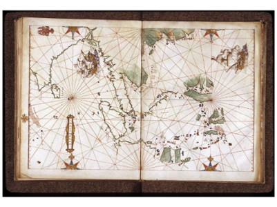
- Exhibition | Representing the far away: an European view April 2, 2024 - July 13, 2024
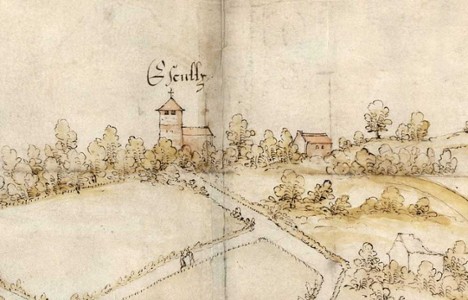
- Exhibition | The detail and the whole. Maps and images of the Rhône and Lyon area April 4, 2024 - July 12, 2024
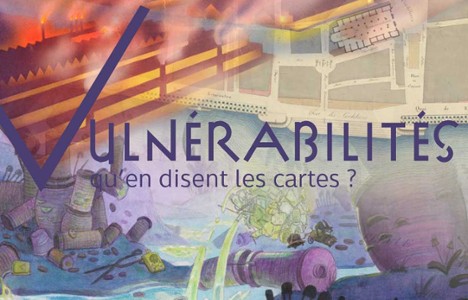
- Exhibition | Vulnerabilities ... what do maps say? May 3, 2024 - September 28, 2024
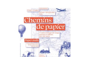
- Exhibition | Paper trails - Maps and images of travel in France and elsewhere, 19th-21st century May 15, 2024 - September 29, 2024
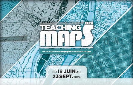
- Exhibition | Teaching maps: on the trail of cartography at the University of Lyon June 18, 2024 - September 22, 2024